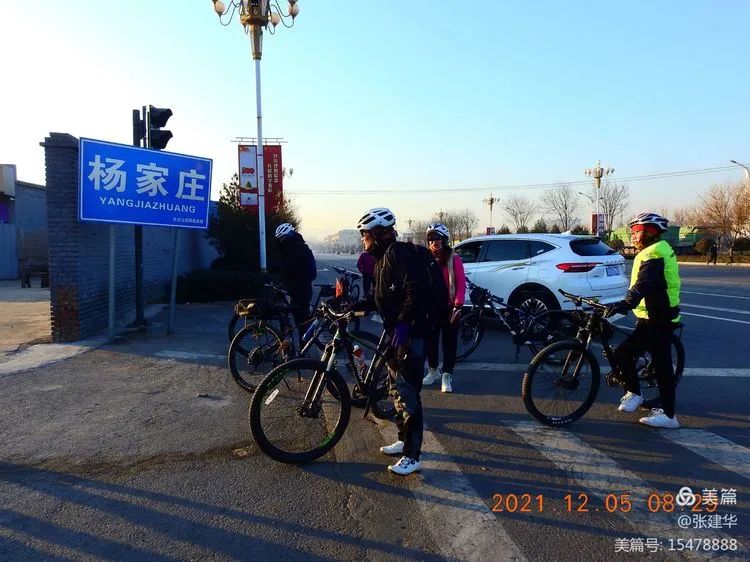
Ride through Taigu Changyu village, Yuquan mountain and DAAO village
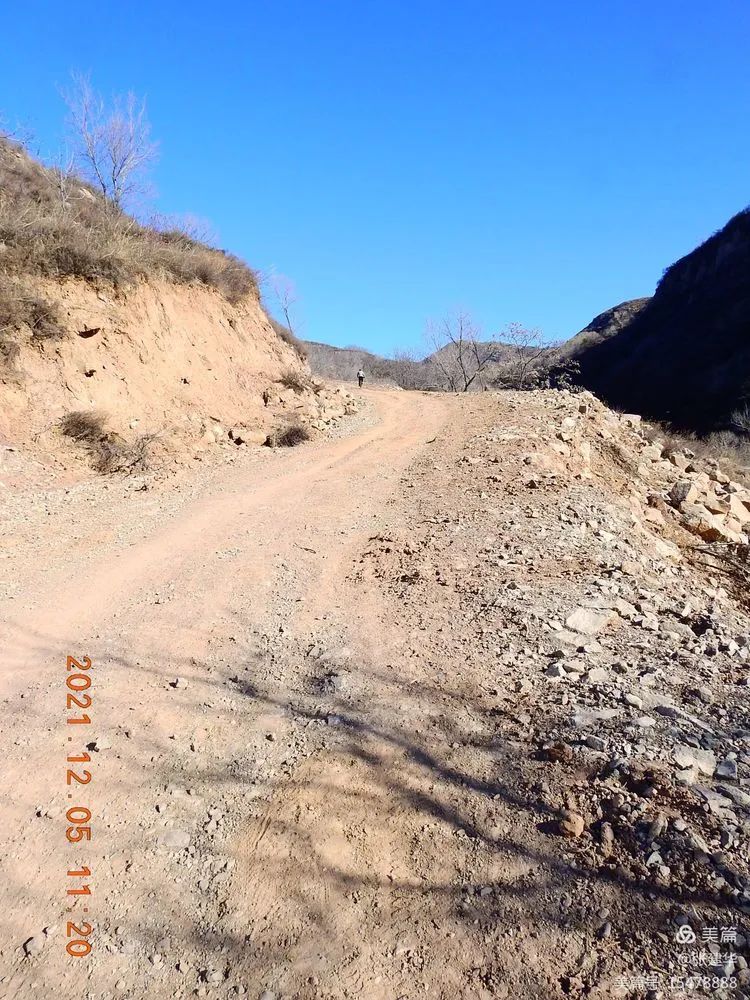
At 8:30 a.m., Yangjiazhuang intersection of national highway 340 started, ran along national highway 340 to Yushe, arrived at yaozitou village of Pangzhuang reservoir to Yangzhuang village, left National Highway 340, turned left, crossed Wuma River, followed a narrow dirt road, and went to Changyu village, Yuquan mountain, daaozhai and Nanshan Geduo.
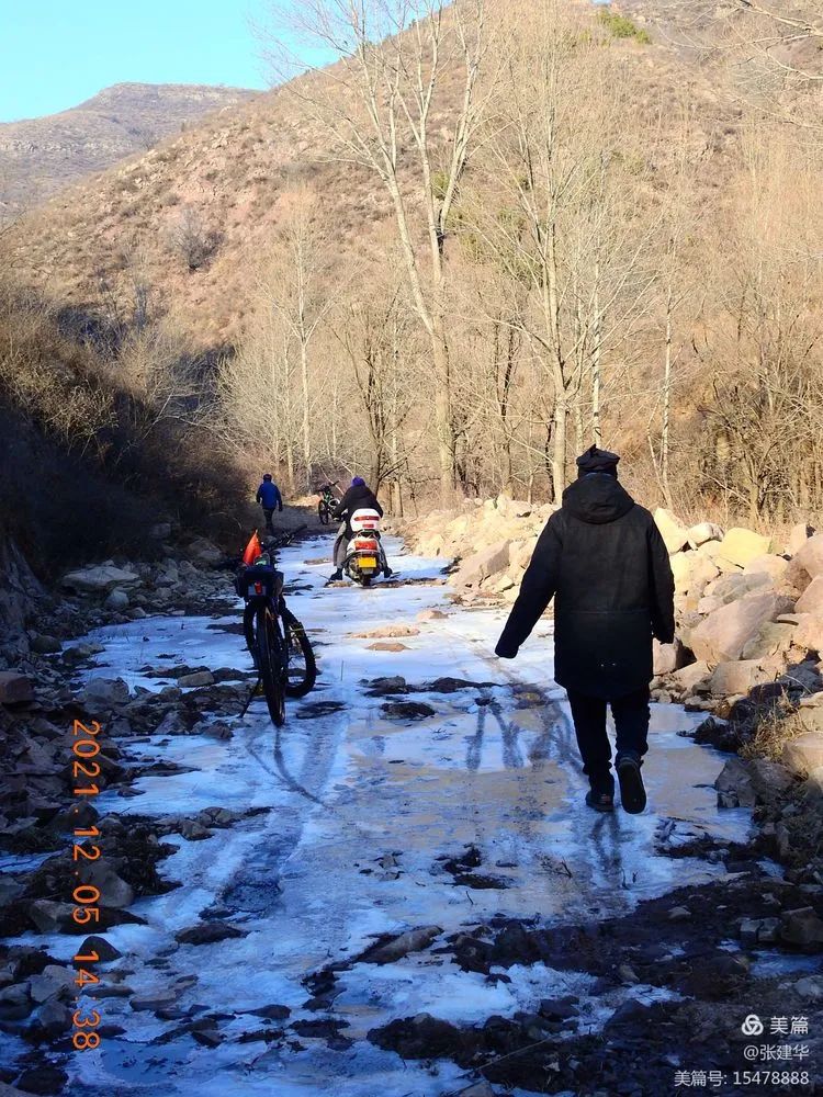
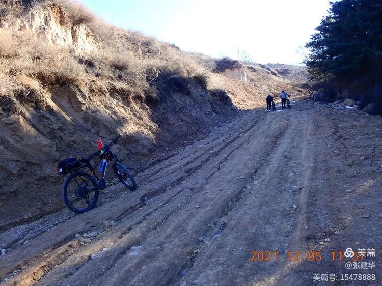
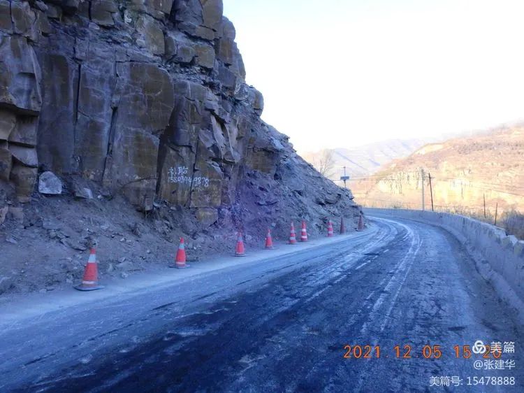
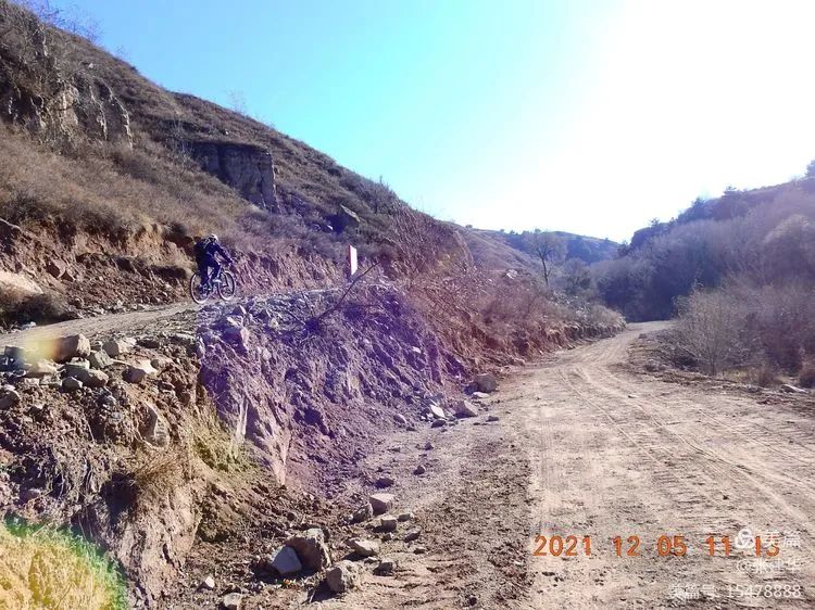
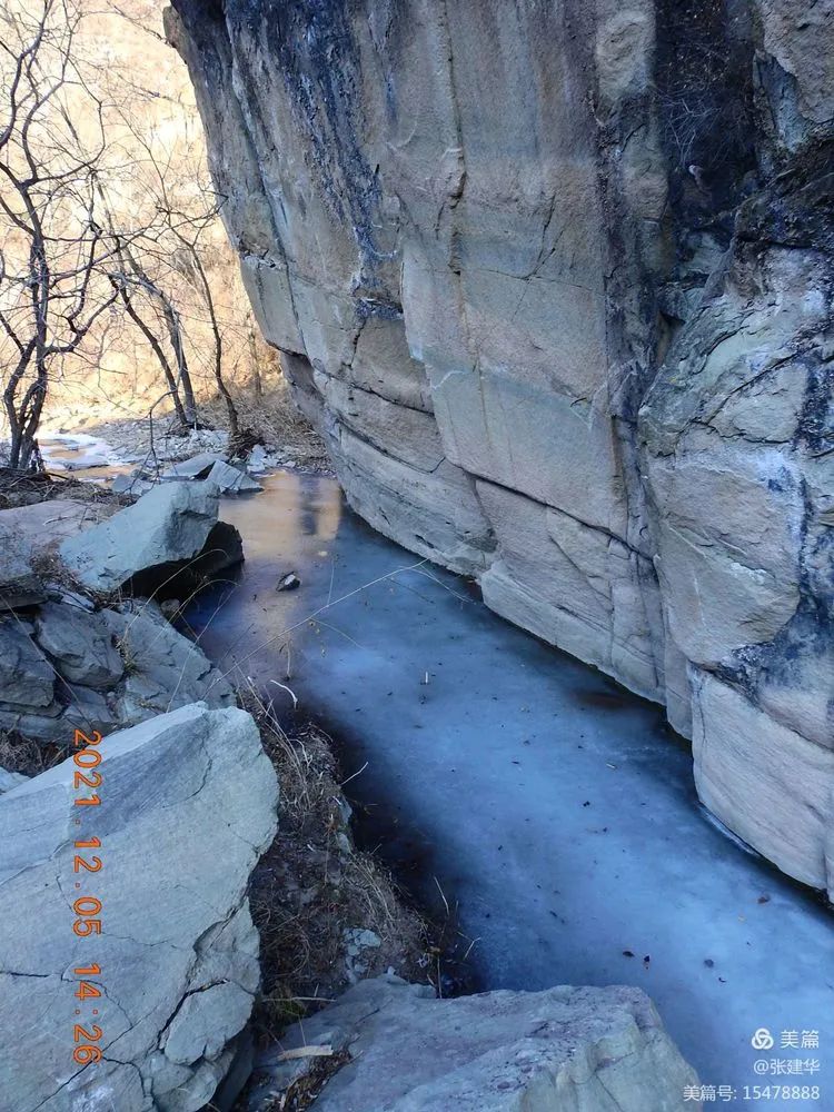
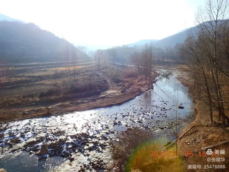
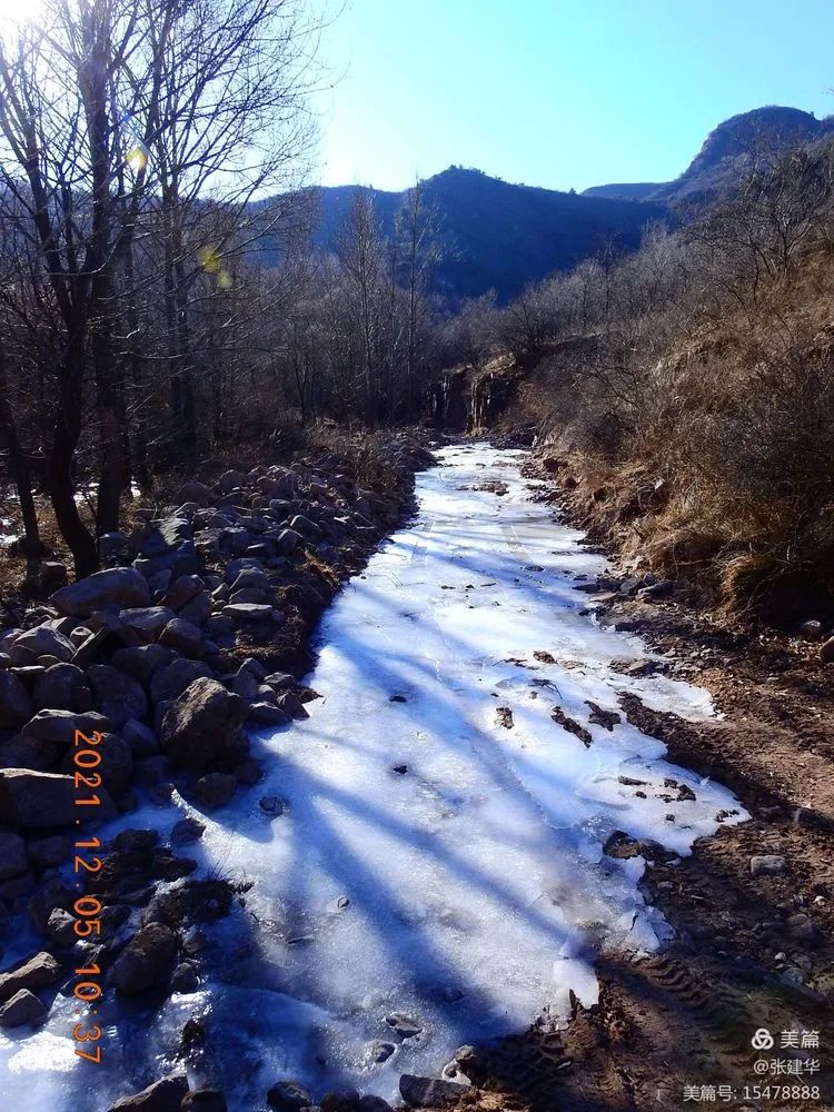
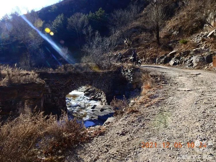
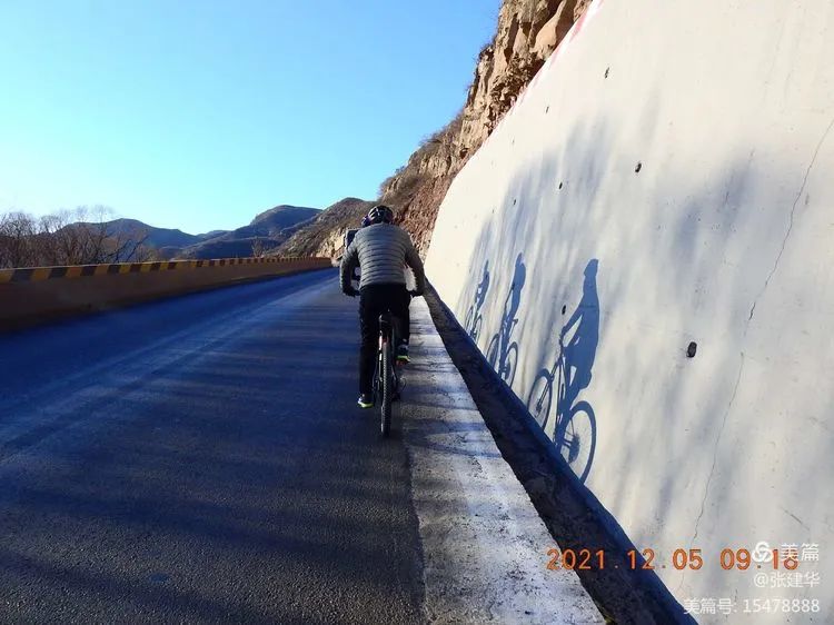
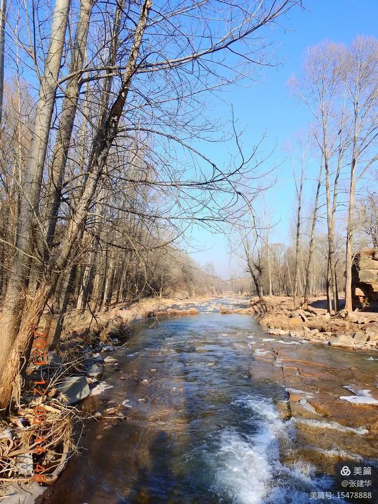
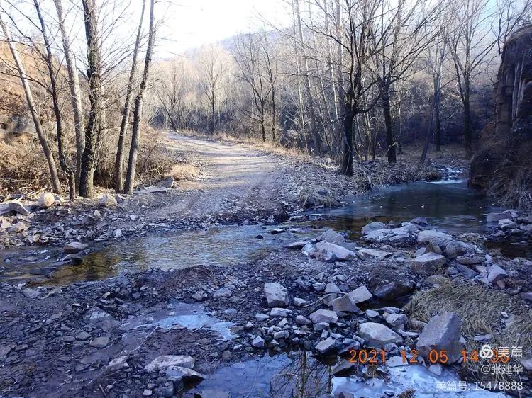
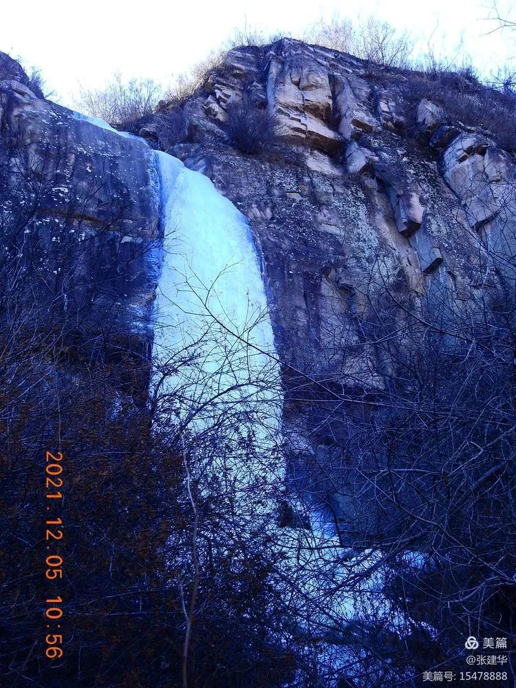
The small arch bridge on the roadside of Wumahe small bridge, the streams and pools on the roadside, the thin ice covered road surface, the ice waterfall on the roadside reach the Sancha intersection, lead to changchen village on the left, lead to Nanshan Geduo on the right, walk on the left, climb the slope, go to changchen village on a steep, long and laborious slope, and there is an old cave beside the road.
I wonder if it will be the headquarters of the famous Tongpu detachment during the Anti Japanese war.
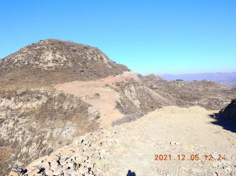
Leave Changhe, continue to climb the slope and finally climb to the ridge.
This is Nanzhuang ditch on the northeast side of the ridge, which began a tortuous trip to the sky on the ridge.
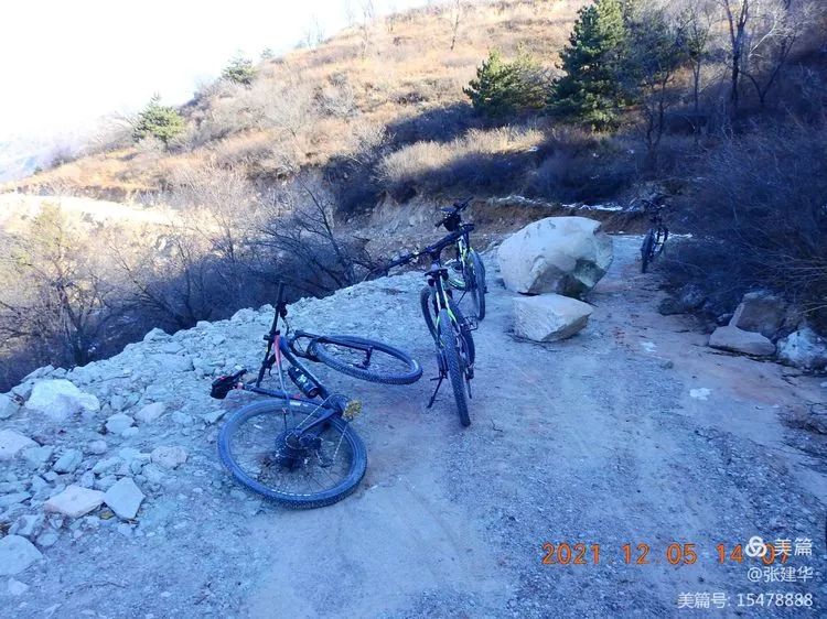
By the way, take a look at the scenery over the ditch.
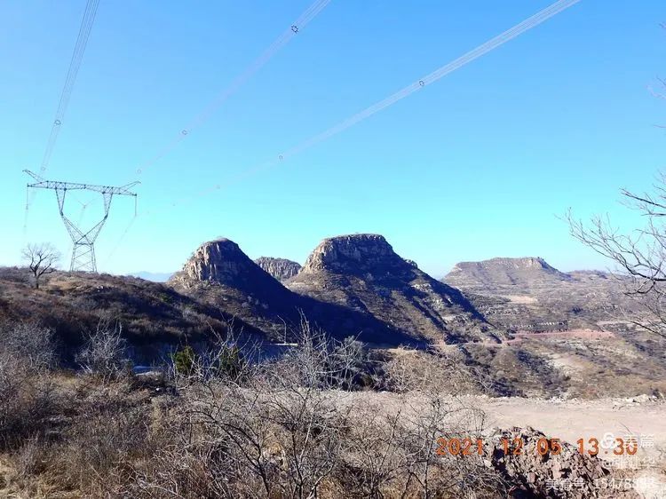
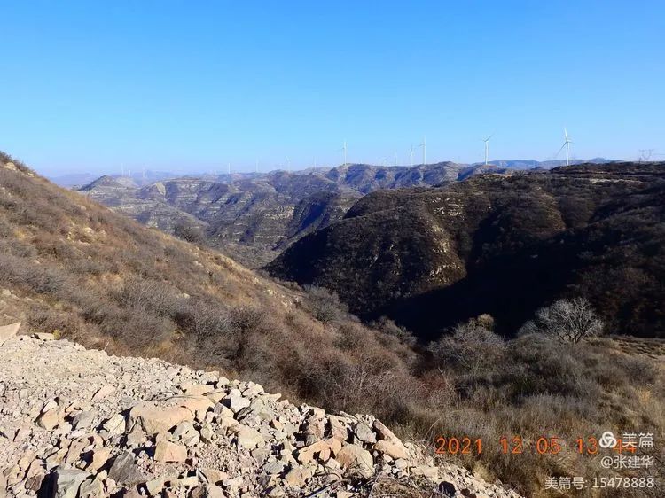
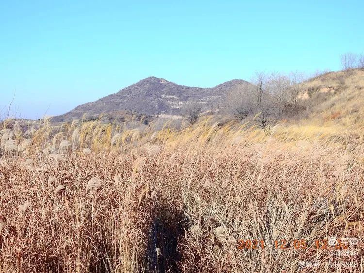
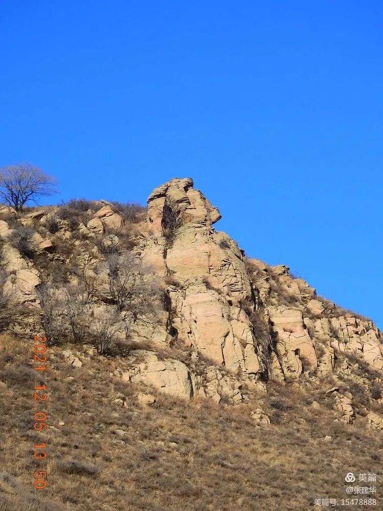
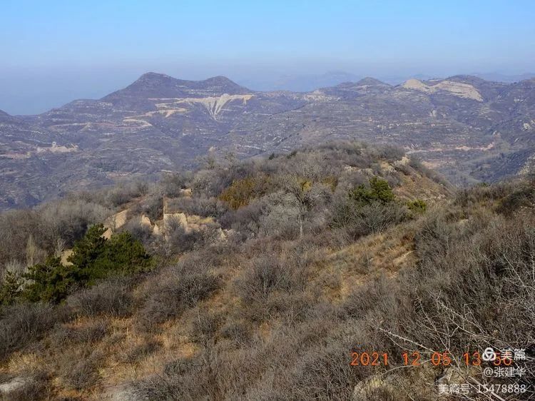
According to the information, the mountain opposite is Huazhiling, and the highest peak is gaitiannao.
In the picture, this is liuwangjian, which is located in the north of Changhe village.

It seems to be also called Liuwa mountain.
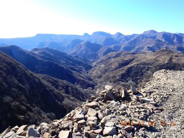
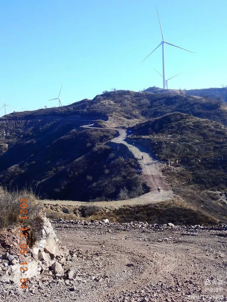
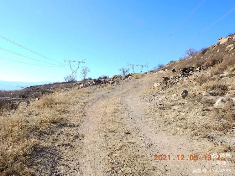
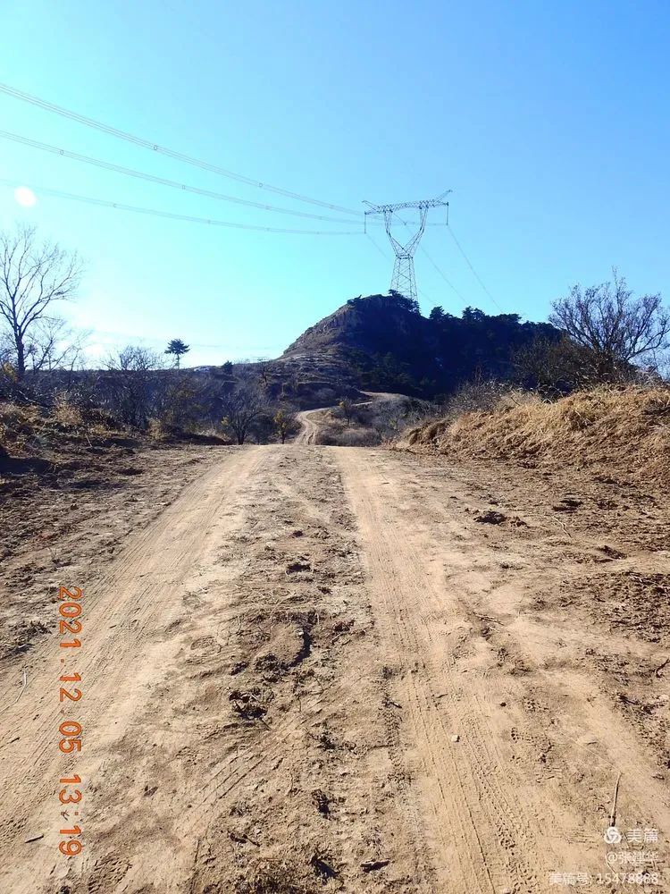
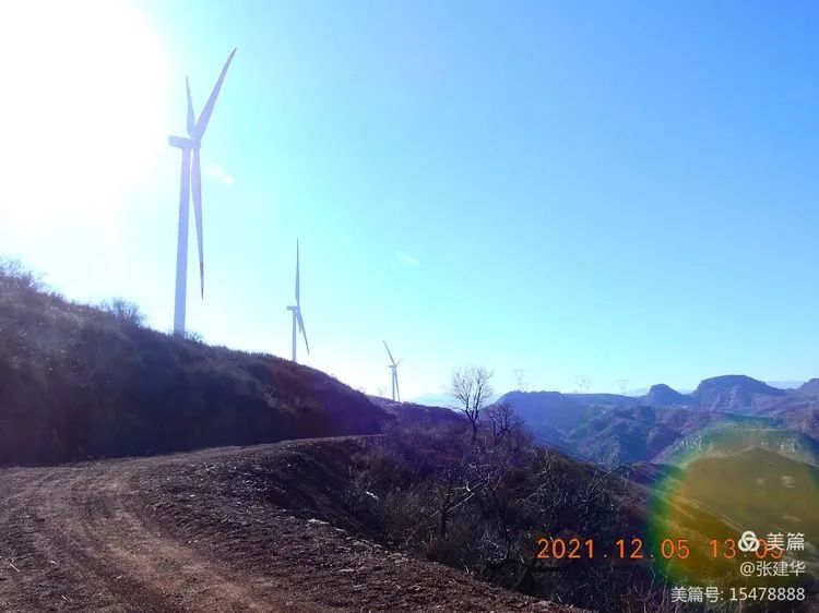
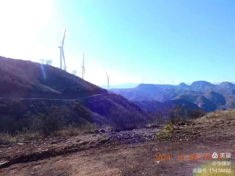
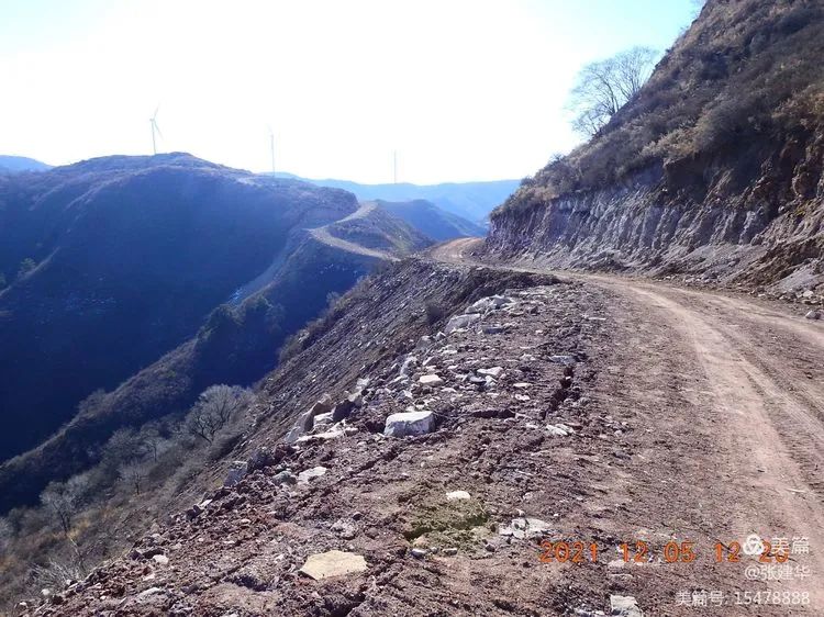
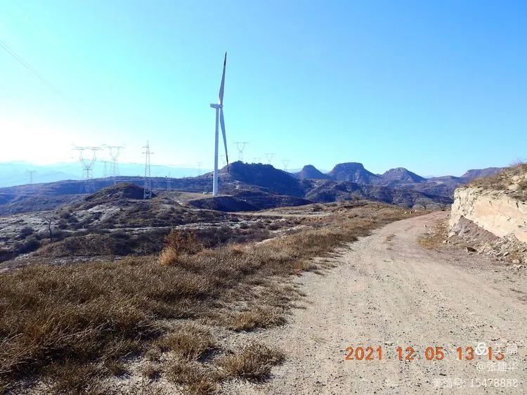
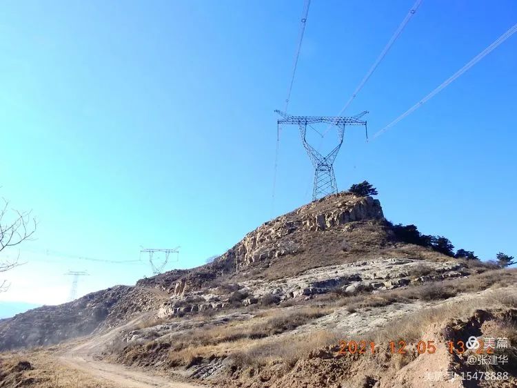
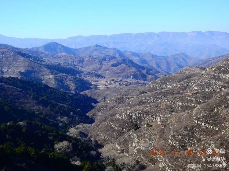
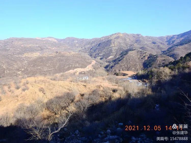
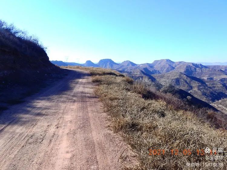
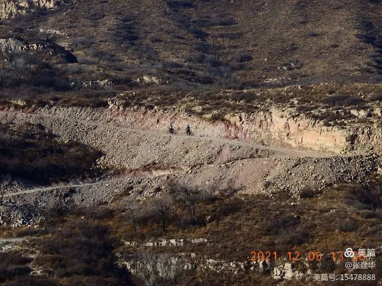
Overlooking the road from Yuanjian mountain to Yuquan mountain, the road twists and turns, ups and downs.
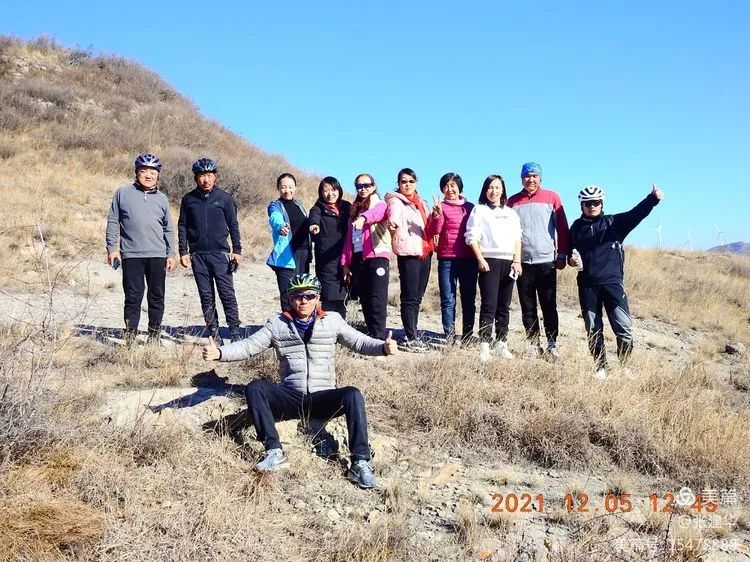
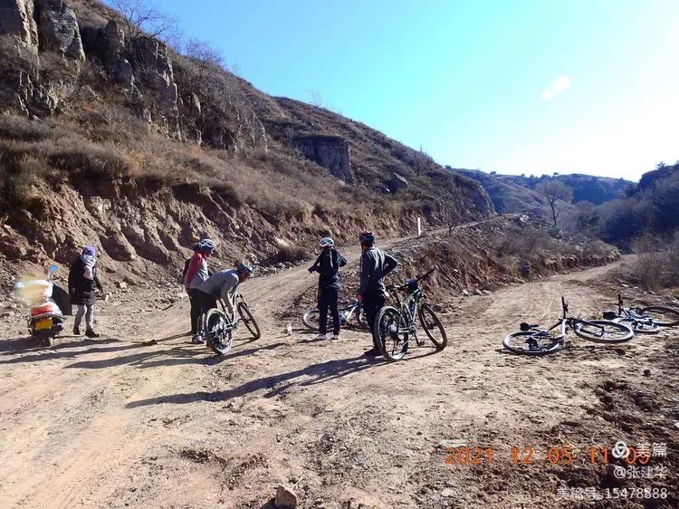
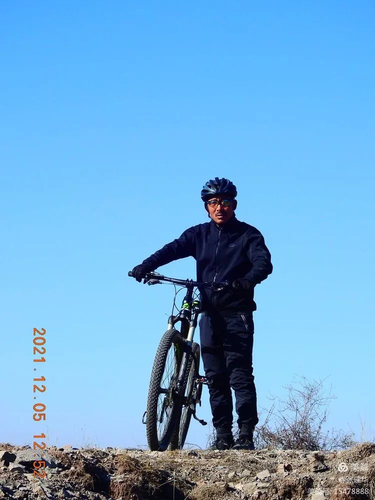
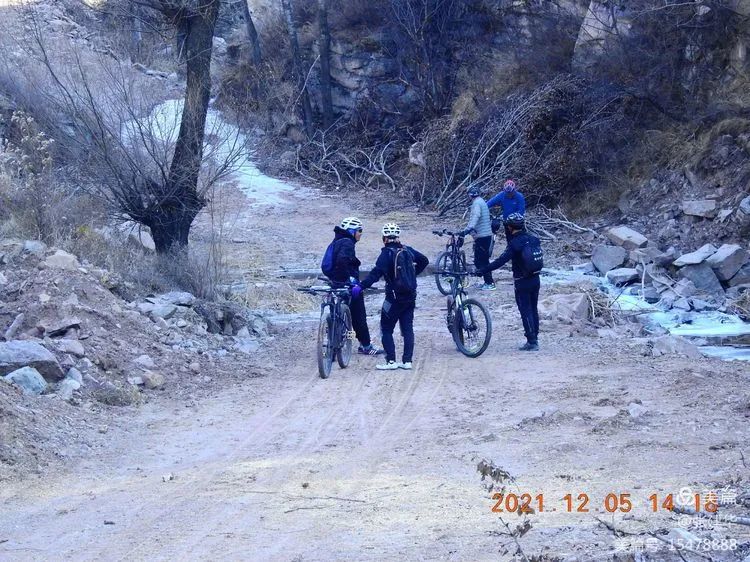
I saw Nanshan Geduo village at the bottom of the ditch, pedaling along such a heavenly road, and several strange peaks opposite, that is, taking a rest on the way in the direction of Yuquan village, having enough to eat and drink, taking a group photo to remember the beauty of Xiangche, and accompanying brother Hu who is far ahead all the way, Finally, I got a good picture and went on.
At Huazhiling fork, Yuquan mountain will be reached in front of fan 1 at Huazhiling fork.
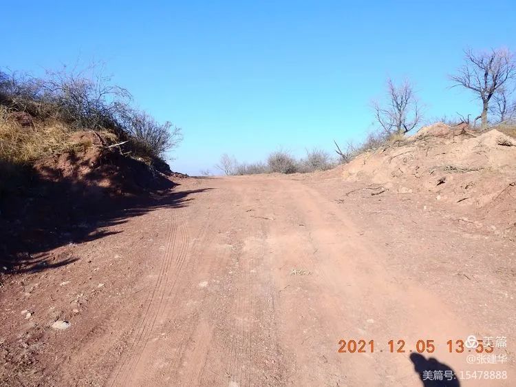
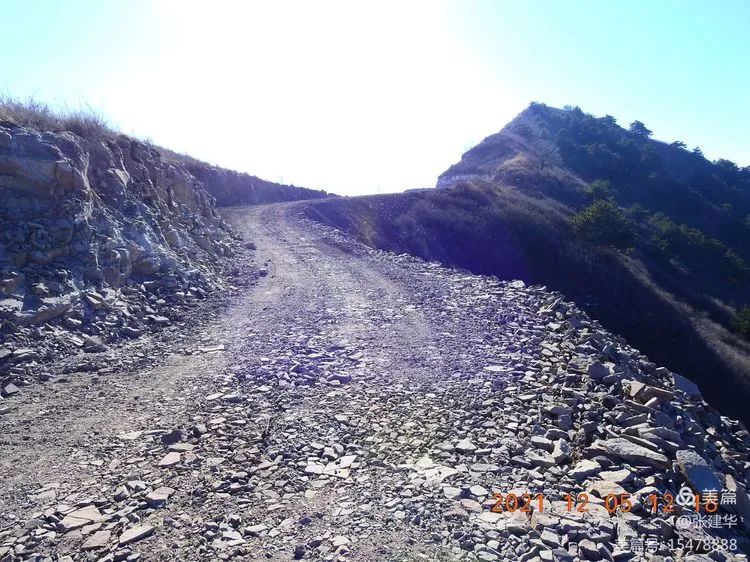
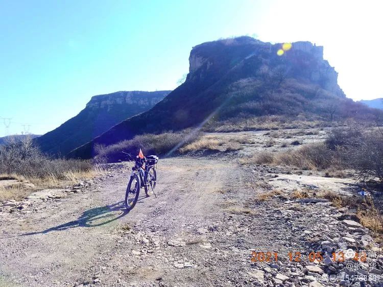
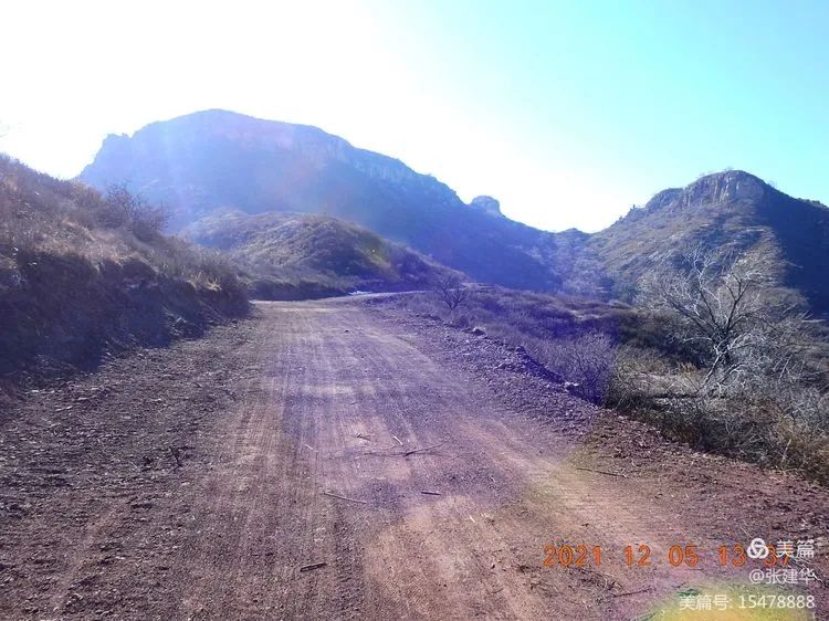
Climbing up this slope is the fork of Yuquan mountain.
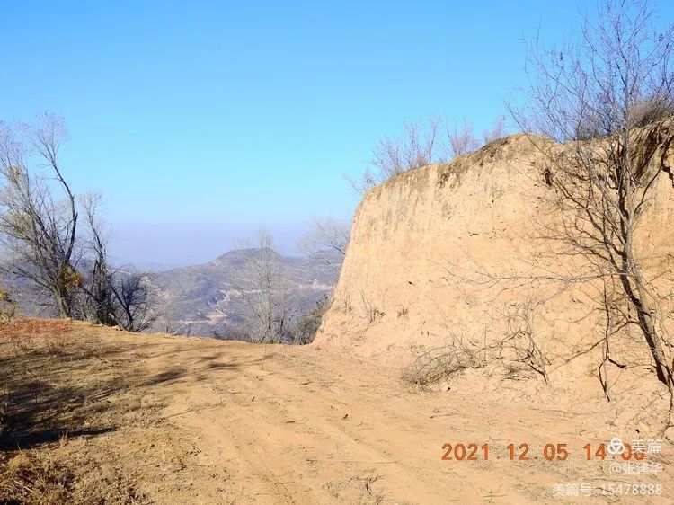
From here, turn right and go down the mountain to daaozhai and Nanshan Geduo.
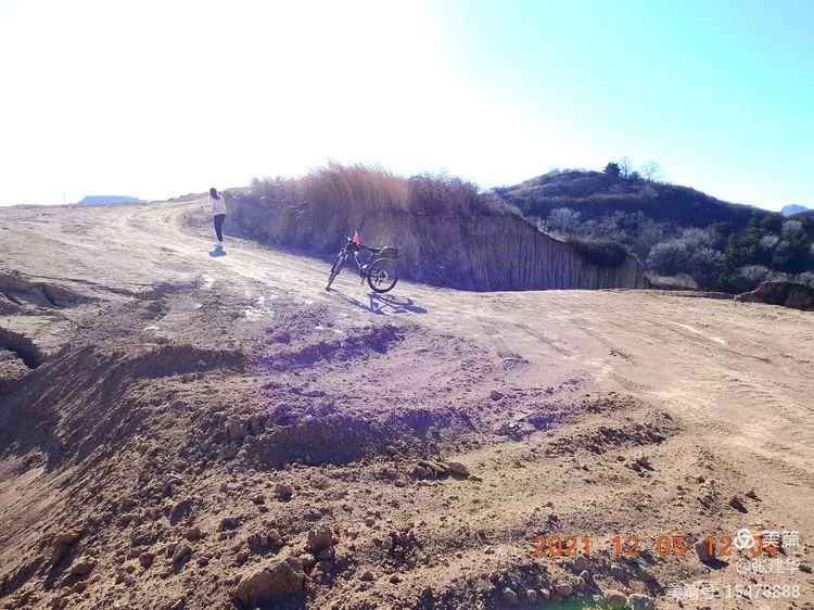
In the middle of the opposite, there is a flat peak of a tree, which is the way down the mountain of Yuquan Zhai.

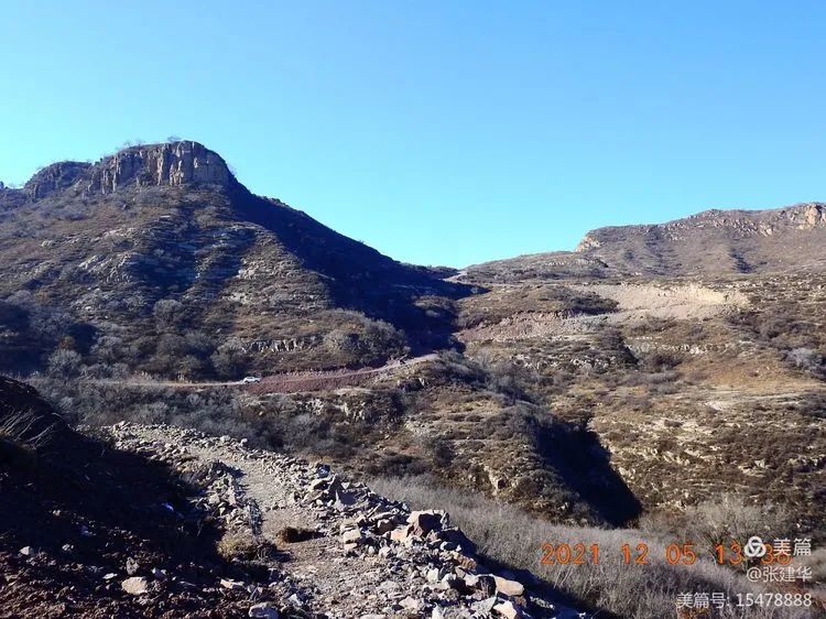
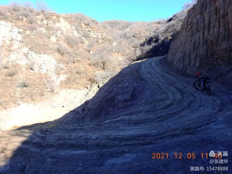
It is still tortuous.
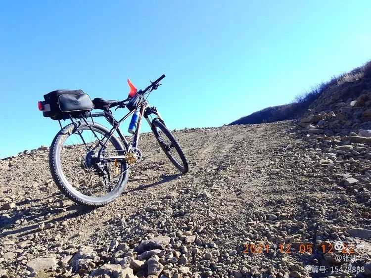
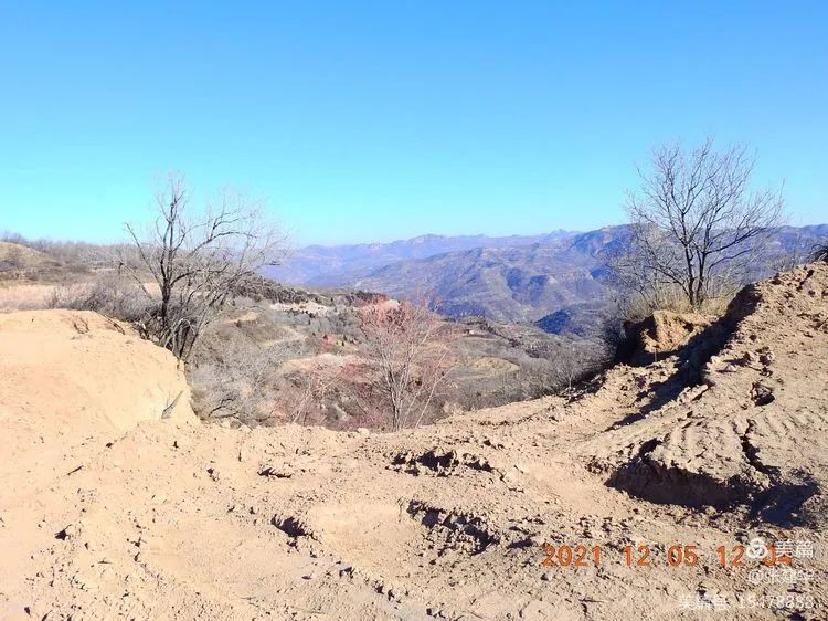
The last slope on zhubajie mountain is followed by a long steep slope, To the bottom of the valley.
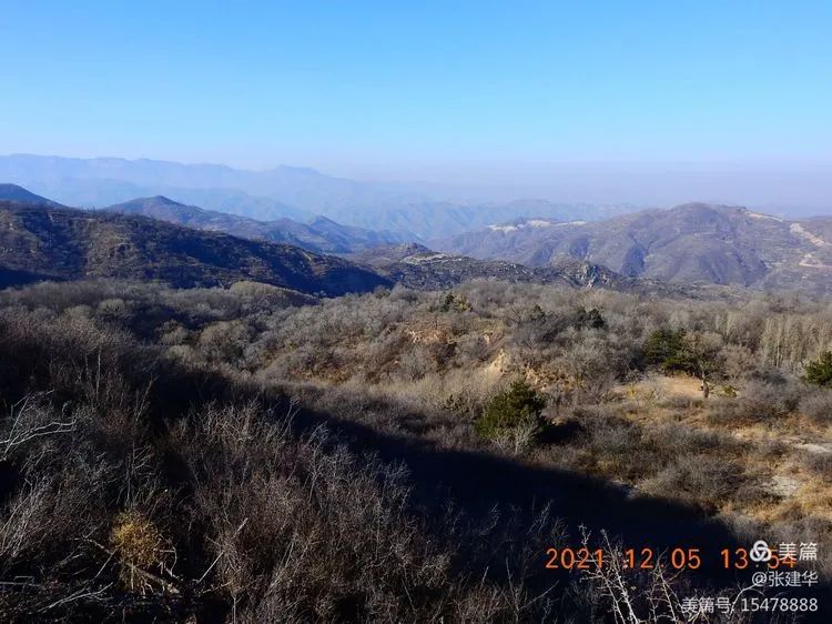
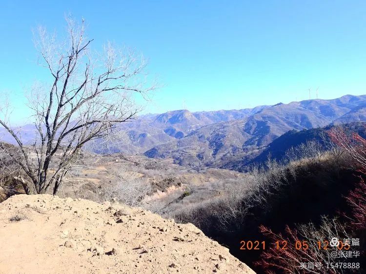
From the direction of Yuanjian mountain, look at Pingchuan in Jinzhong.
There is a thick dark red haze over the sky.
I don’t want to go down the mountain.
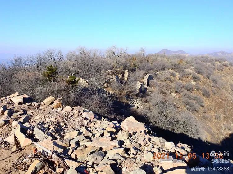
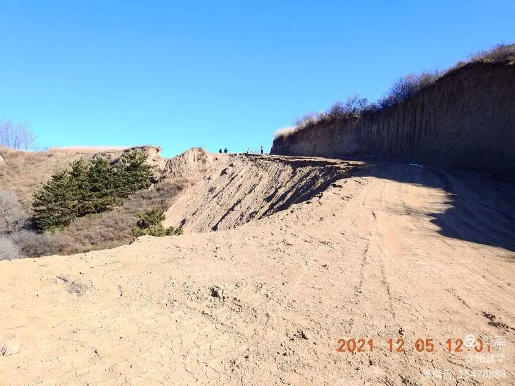
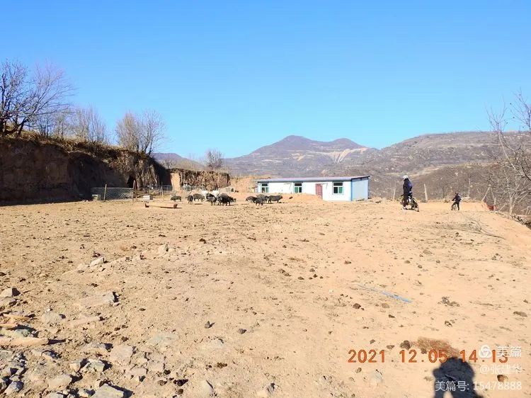
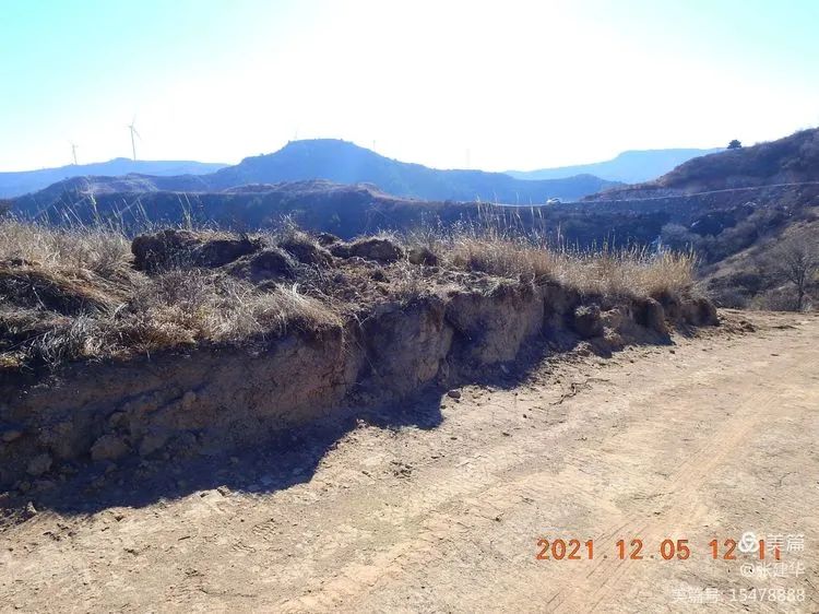
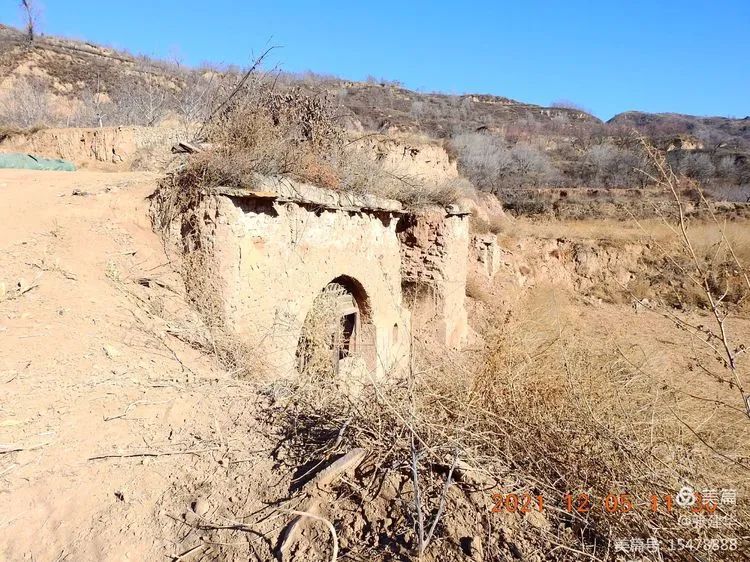
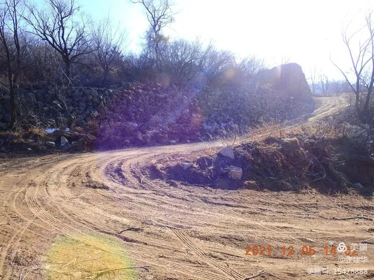
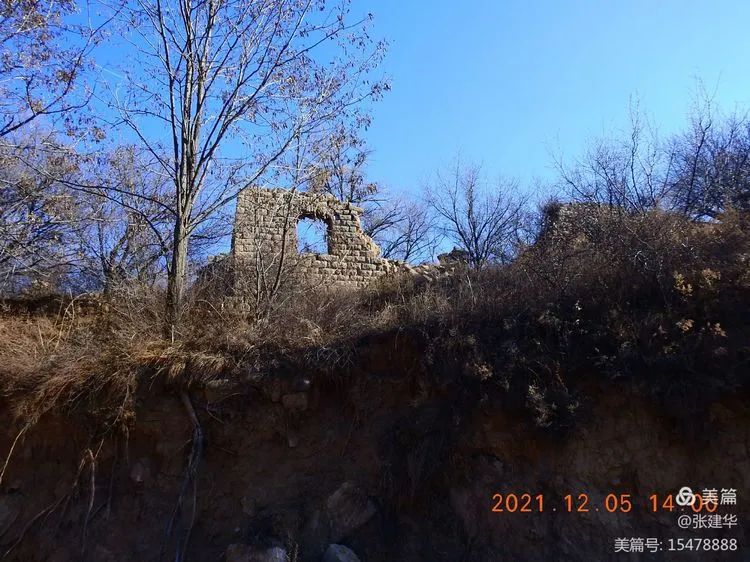
Under the direction of liuwangjian, you can see the dilapidated wall of dawao village, the dilapidated wall of dawao village, the dilapidated wall of dawao village, the dilapidated wall of seabuckthorn dawao village on the roadside, the dilapidated wall boulder of Nanshan Geduo site overlooking Nanshan Geduo site, Nanshan Geduo village has been completely destroyed, and the village is no longer a village.
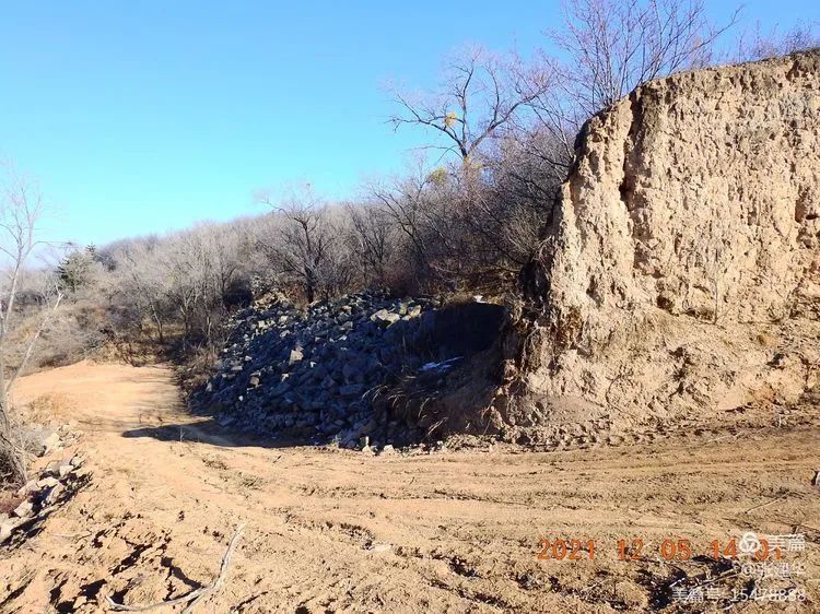
The glacier on the roadside of the fork at the bottom of Geduo ditch in Nanshan will be in a big or small situation every time.
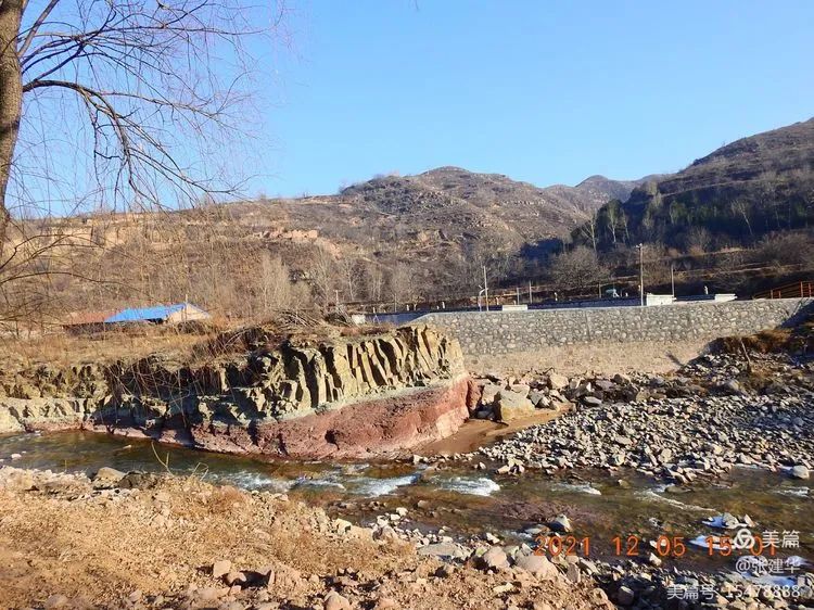
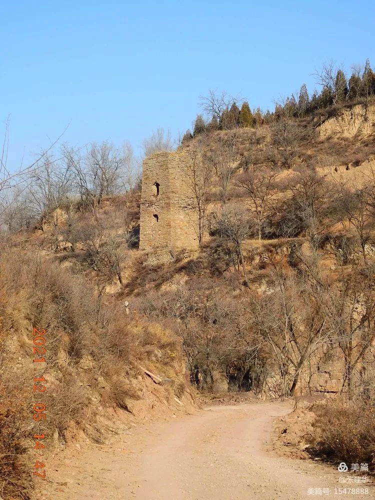
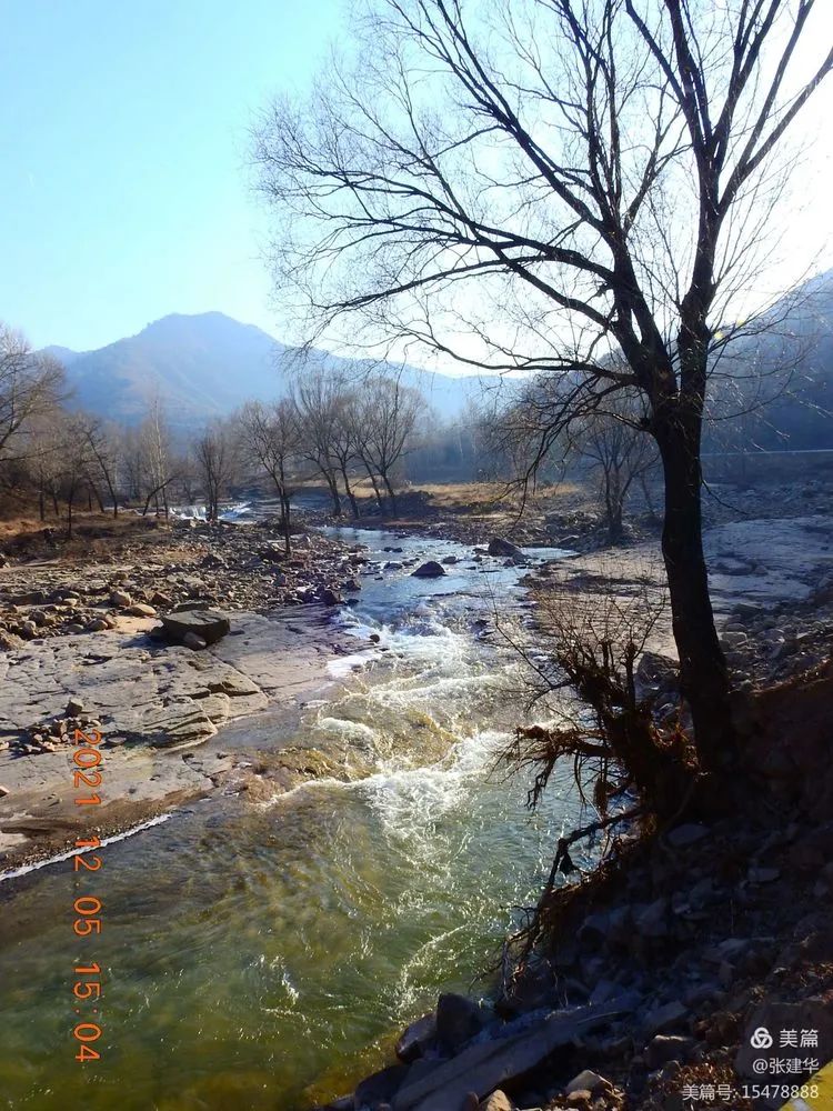
At the mouth of Yangzhuang ditch, the turret built by the little Japanese devil still crosses the UMA river.
Up there is Daping new village of national highway 340.
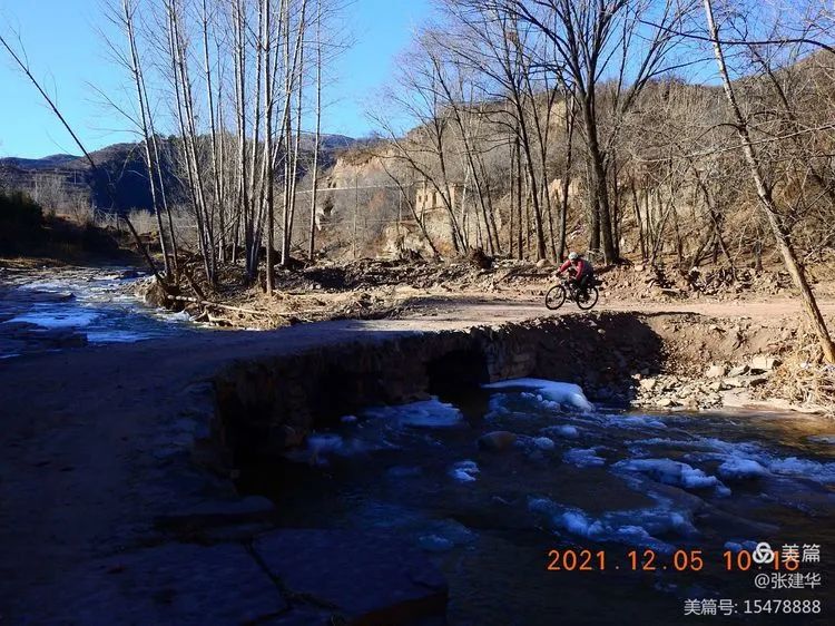
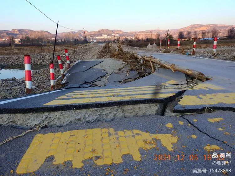
The small bridge destroyed by the flood in Daping village this autumn has been repaired as old and can pass again.
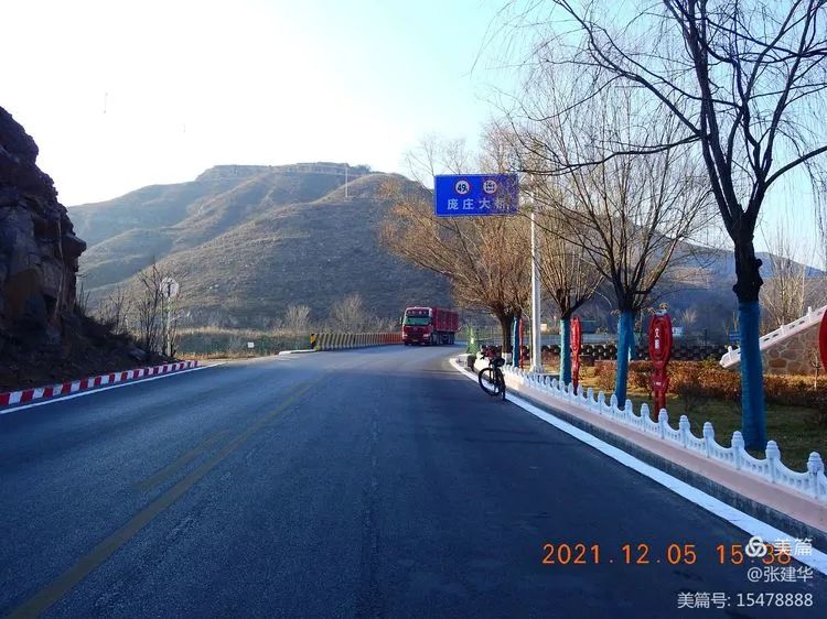
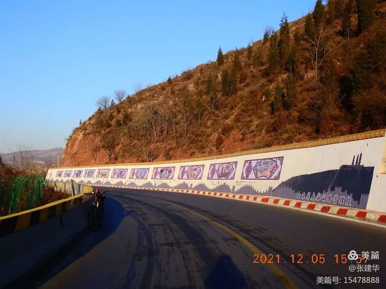
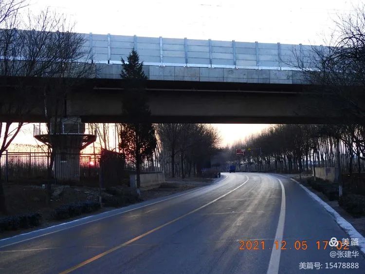
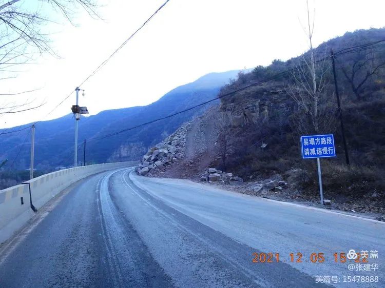
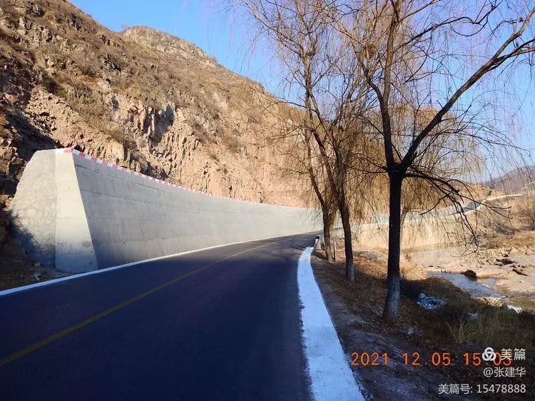
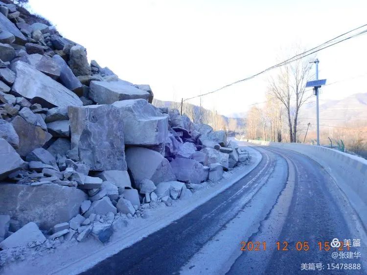
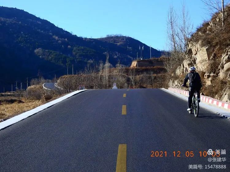
After upgrading, national highway 340 looks safer and smoother than its predecessor provincial highway 319.
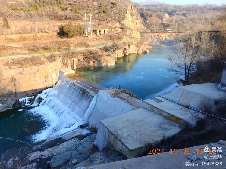
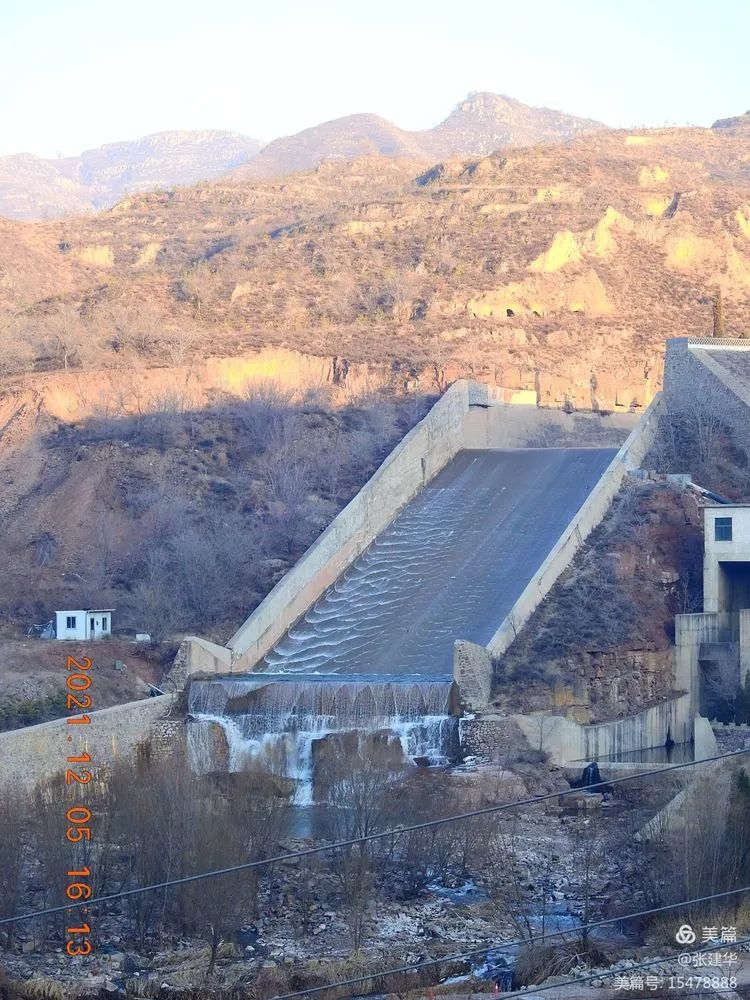
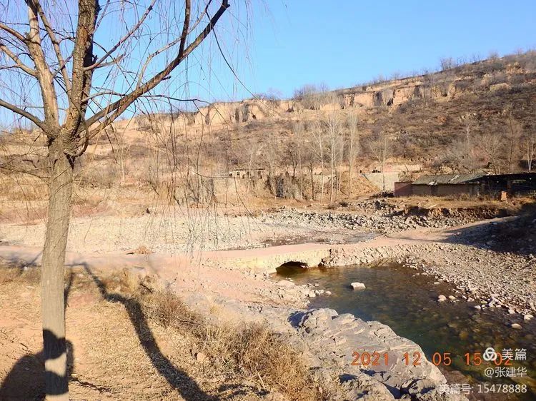
In the GuanZhai section of national highway 340, the Wuma River crashed in the rainstorm this autumn.
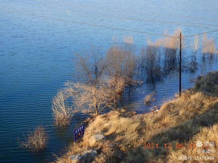
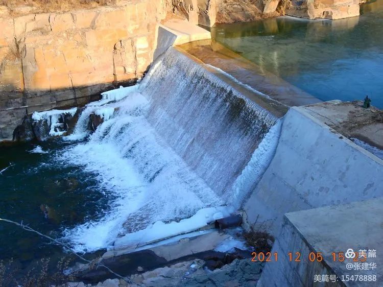
After simple treatment, only one car can pass through the GuanZhai small reservoir.

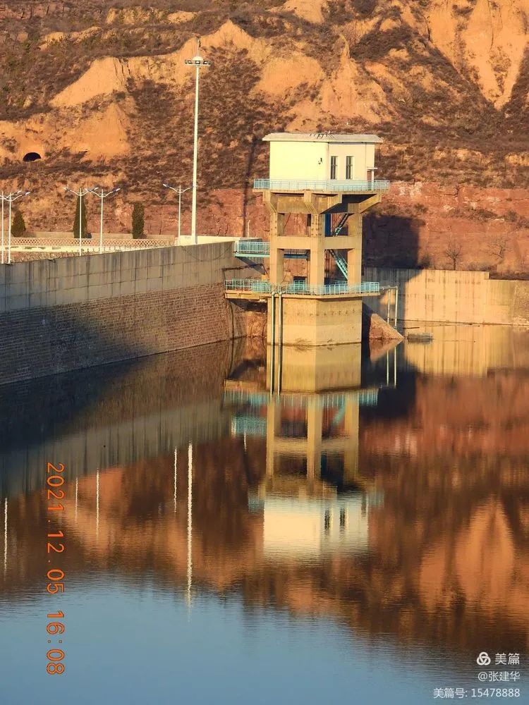
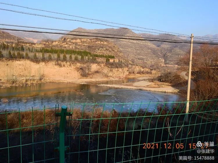
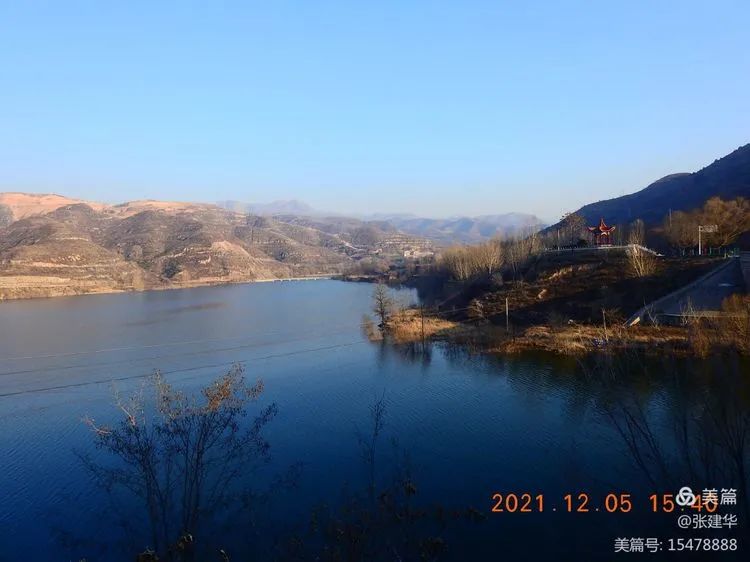
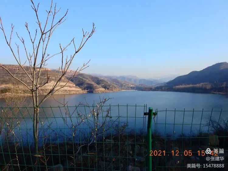
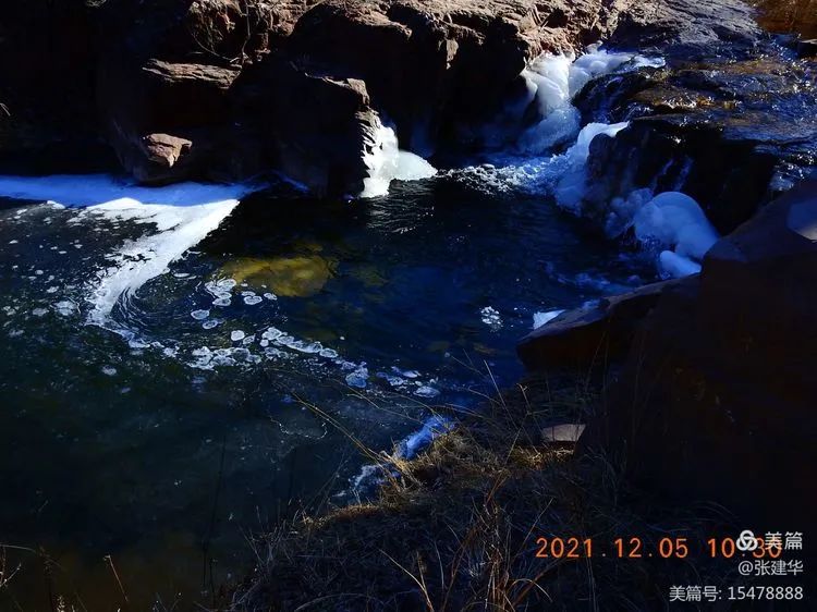
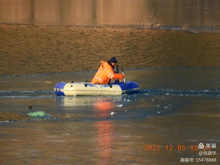
The reservoir surface has been frozen, and the waterfall falling over the dam has less ferocity in the past, adding a bit of fairy charm.
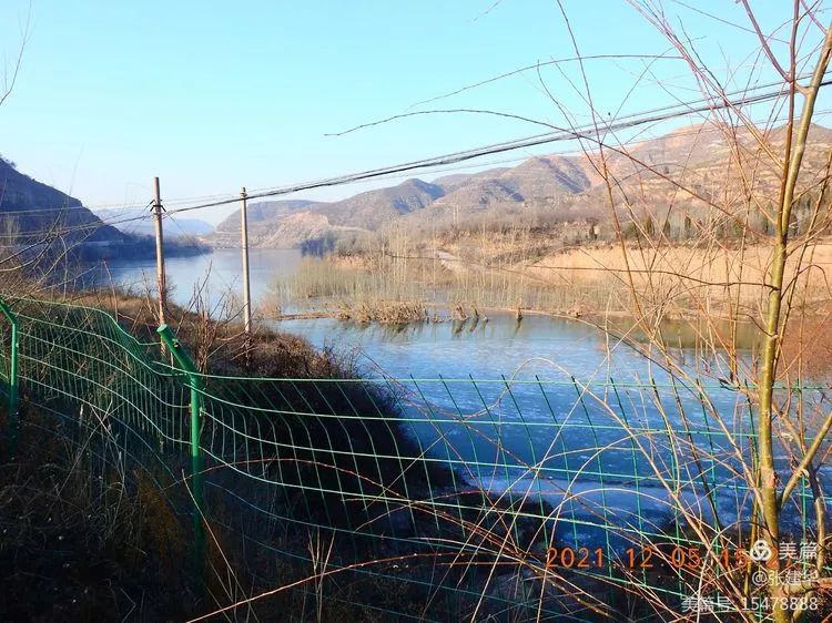
The tail of Pangzhuang reservoir has frozen.
It’s rainy this autumn.
Two months later, the reservoir is still full.
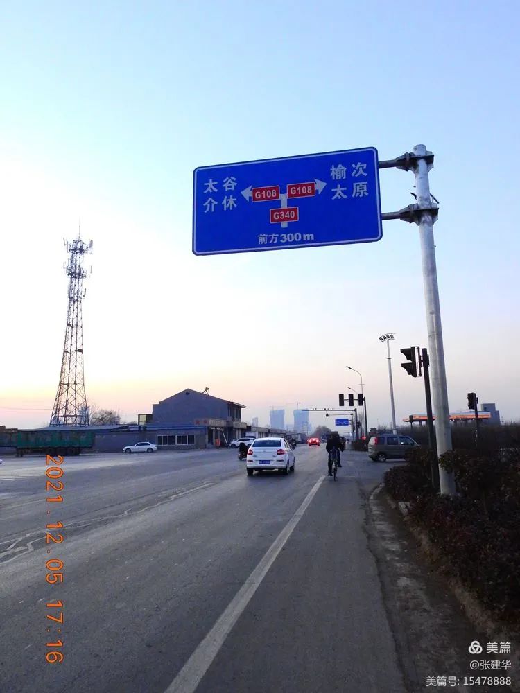
I don’t know why Taigu has changed from Jinzhong to Pangzhuang bridge.
Look at the water level sign.
The spillway of Pangzhuang reservoir is still overflowing.
The bridge of Wuma River destroyed by the flood in zhongxiatuhe village this autumn is easily repaired and can barely pass.
The sun was setting in the West.
Finally, it came back in the morning.

The whole journey is 87.78 kilometers note: the author of the article is Mr.
Taigu Zhang Jianhua..